
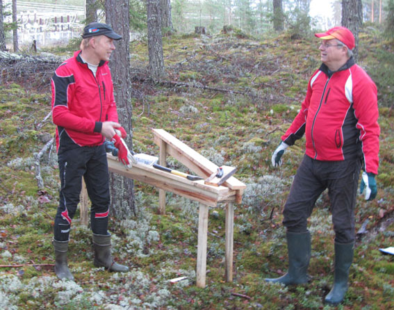
Venlas course setter Juha Rantala (vas.) and Jukolas course setter Reijo Hokka at the controll site.
The maps of Jämsä-Jukola are being finalized – on time. During the rest of the year the maps will get their final form before the printing work starting in March or April. At this stage only under ten people know about the contents of the map.
Preliminary track planning was started immeadiately after Jämsä was allocated the 2013 relay and the permisissions from the land owners were given. In the preliminary track planning old maps from the 1980s were of help.
-In May 2011 we started the laser scanning of the terrain area, with which the landorms are visualised well. It is done as a helicopter flight and it is more precise than the traditional air filming. The final work will be done on foot in the terrain, says the Map- and Track Manager Pentti Helminen.
The final checkups and qualifications made on foot have obviously been done already during the summer and autumn. This work has been done by Timo Joensuu from Vaajakosken Terä. Helminen states that the work can be done by two ways. Walking in the forest with a sketch and drawing the qualifications later with a map programme, like he does himself. Or like Joensuu does, which is to walk in the terrain with a lap top, when the map becomes more accurate already in the terrain.
Like all the committees in Jämsä-Jukola, Helminen’s crew has worked tons during the autumn. For example, they have built about 150-160 control bucks, that are already in the forest.
« Back