


JUKOLA 2018
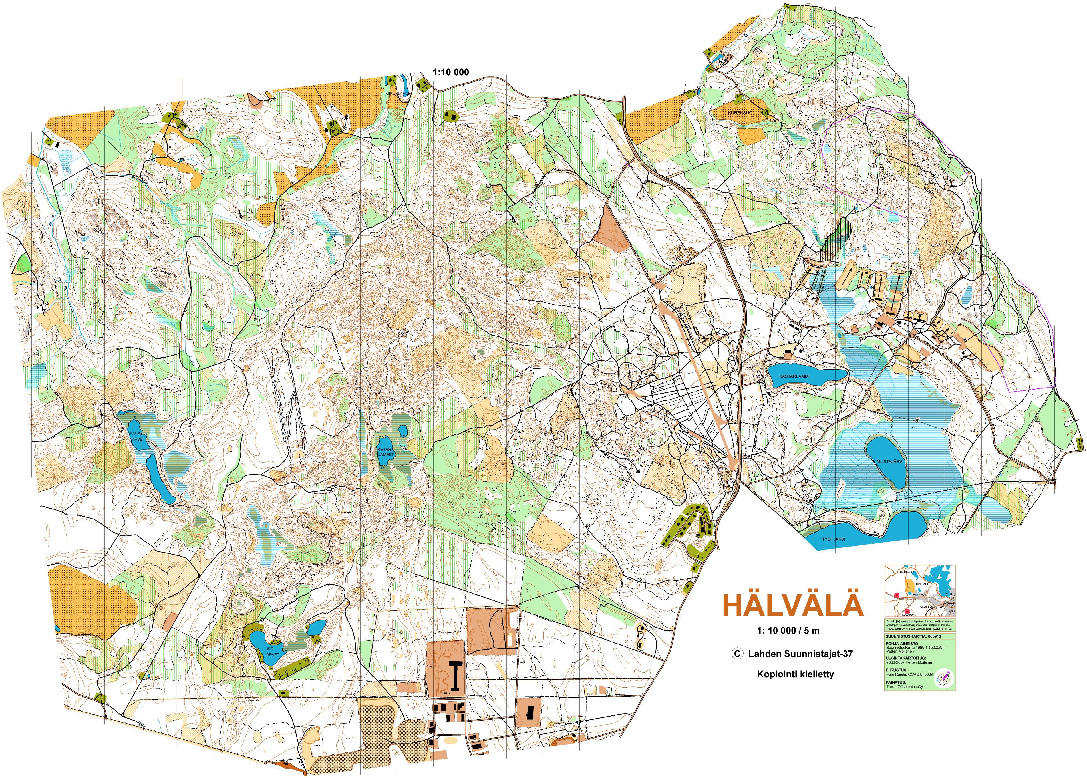
Terrain description
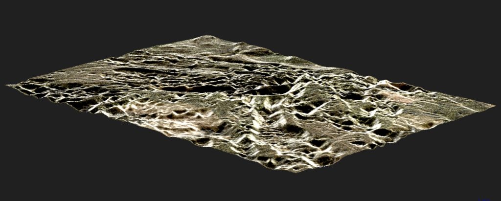
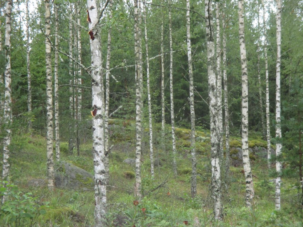
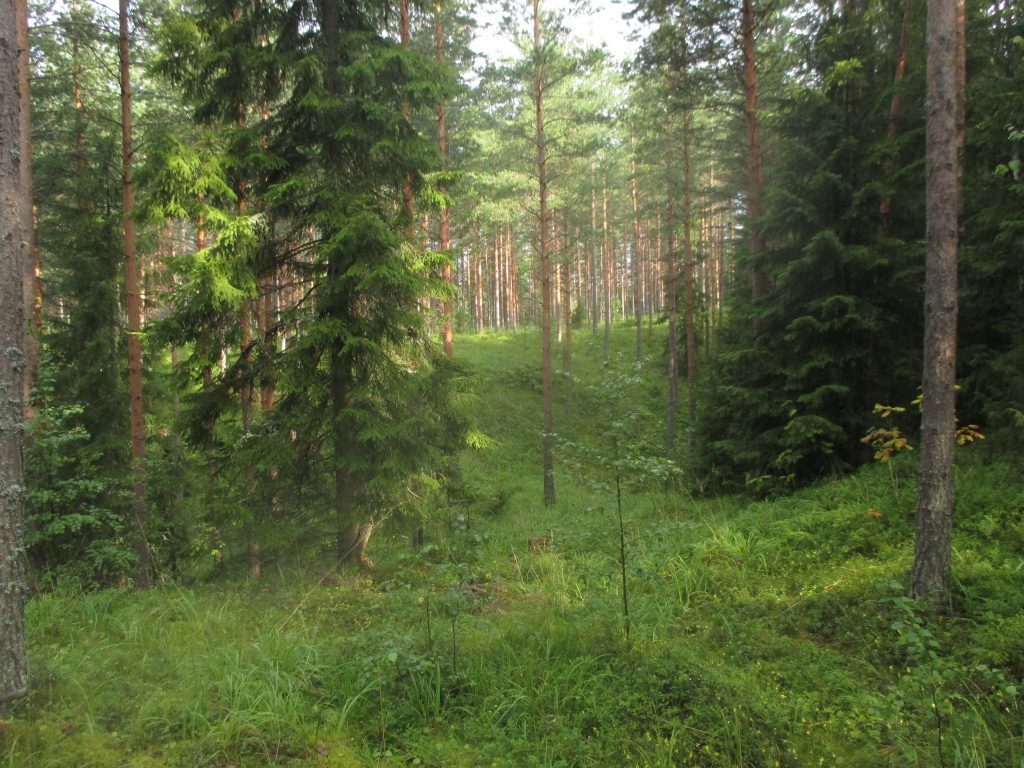
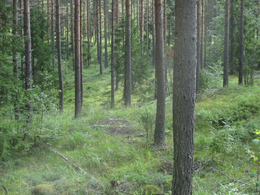
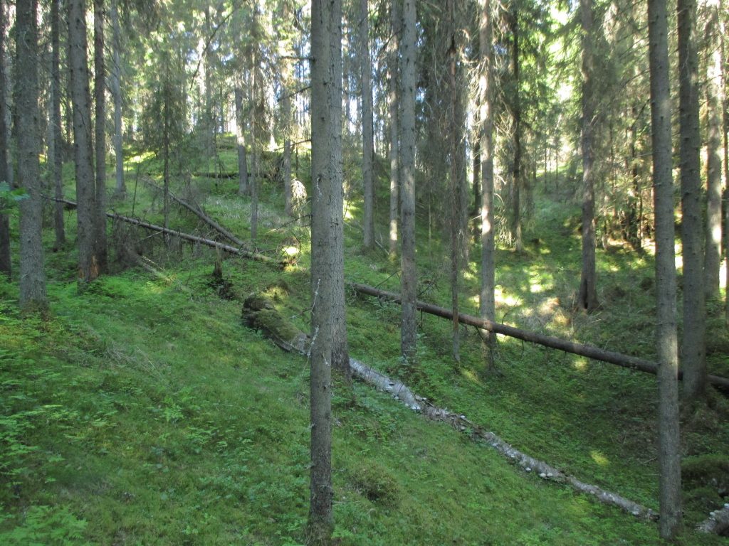
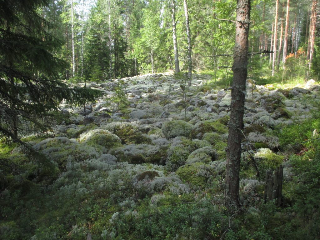
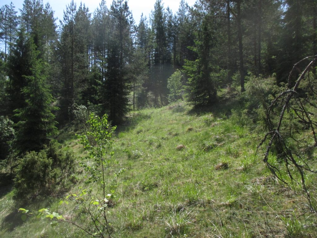
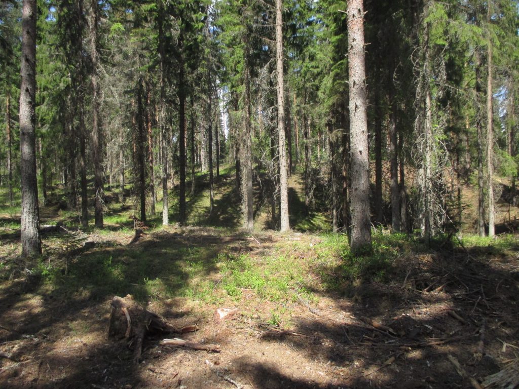
The competition area is dominated by depression terrains formed by the ice-age. At the borders there is also dry peaty forest with pines and cliffy areas. Here and there, the ground is stony but on the other hand you will find open pine forest with good runnability and lots of paths.
The deepest depressions go down some 40 meters but the major part of the area is comprised of smaller depressions and forest with good runnability. The area has been normally lumbered and there are lots of vegetation boundaries especially in the eastern part. Yet, there has only been a little forest thinning and the visibility is good. Altogether we offer a vast and unique terrain of varying deep and small depressions seldom seen in Finland.
The competition centre is a former airfield in Hälvälä, which has hosted two earlier Jukola relays in 1951 and 1987.
The mappers are Arvo Paulin and Jarmo Pikkarainen. Thanks to these experienced specialists, laser scanning and stereo mapping the clarity of the contours and the exact location of objects are of high quality.